
The first eight days of 2023 were cloudy with pretty much 100% cloud cover across the area. Today we actually had some sunshine return to our skies. There were higher level clouds today like cirrus, but the lower-level clouds that have been blanketing the Stateline, cleared out quickly overnight and allowed sunshine to return for the first half of the day. Our southerly winds and high pressure to our southeast also helped the sun make an appearance Monday.

Temperatures made it into the upper 30s/lower 40s across the Stateline Monday afternoon. Janesville was our warmest temperature making it up to 43 degrees. We reached 41 degrees in Rockford and Sterling. Rochelle was at the 40-degree mark. The remainder of the area saw the upper 30s.

Not only have our daytime highs been above normal, but our nighttime temperatures have been well above normal too since the start of the month. The last two days our afternoon temperatures only made it into the mid to upper 20s which is below the normal high of 29 degrees. Today we were back to an above normal pattern and that will continue in the coming days.

Winds were a little bit of a factor Monday afternoon with gusts ranging from 10-15 mph. Wind speeds will pick up overnight. Expect wind gust around 15-20 mph Monday night. Tuesday afternoon wind gusts will be around 15 mph.

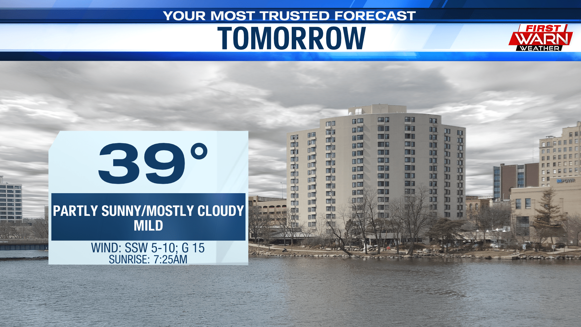
Monday night temperatures will be near the 30-degree mark under mostly cloudy skies. Patchy fog will continue through this evening and into tonight. Tuesday temperatures will be fairly similar to this afternoon, look for afternoon highs in the upper 30s. A few places could once again squeeze out the lower 40s.

Our temperature outlook for the next one to two weeks of January look to stay warm. Normally we should be around 29 degrees, but temperatures will stay above that threshold over the next several days. Wednesday we are back to the lower 30s but thanks to a cold front, that will drop our temperatures for Thursday and Friday down to the mid to lower 30s. The cool down will not last long as temperatures rebound into the weekend and early next week.
Comments are closed.